How to List on Pump Enterprise |Listing is easy! →

RTK GPS

RTK-dredge-system-1-2

What is RTK GPS?

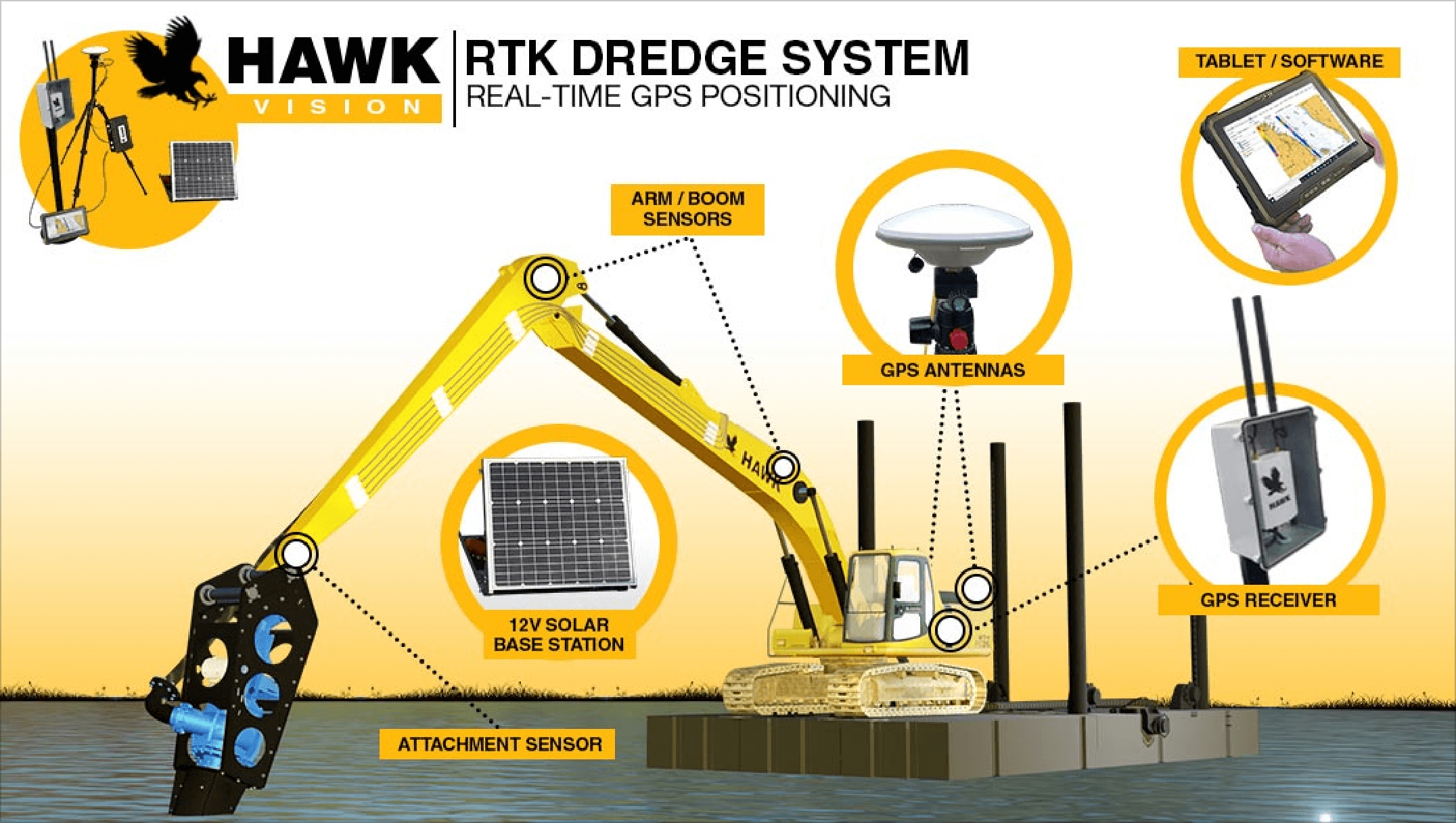
RTK GPS stands for Real-time Kinematics Global Positioning System. It is a survey-grade positioning system that is highly precise and gives the exact location of the bucket or any hydraulic attachments underwater or across hidden locations.

This positioning system uses the combination of signal received from a GPS and a nearby base station and compares both the signals to provide precise data (location). Here, the base station acts as the ‘True North’ that the unit can always calibrate to. This helps the RTK GPS system to achieve an accuracy to less than an inch rather than feet. In any dredging projects, such precise accuracy plays a very critical role.

icon

Survey Grade Accuracy

icon

L1 L2 Multi Constellation RTK

icon

Accuracy Equals Time and Cost Savings

icon

Setup and Integration Services Offered

Why RKT GPS is the Trusted Choice?

Awesome Services


icon

Ease of Operation

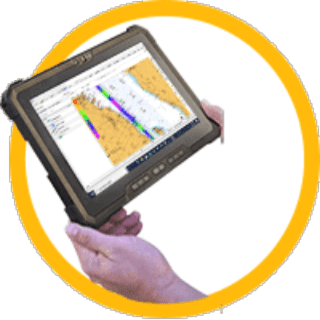
Use our custom software for effortless operation. Each unit comes with a robust & sturdy User Interface Tablet with Locking Mount. Our RTK GPS systems are also DREDGEPACK & HYPACK compatible. Our devices are designed for Remote Support & Diagnosis - they are 4G Cell WiFi enabled.

icon

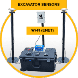
Excavator Sensors

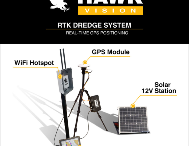
Our entire fleet of Hardware & Software are all weather & environment proof. They can be deployed readily even in the harshest of environments and weather. The entire system can be transported in just two Pelican HD Cases - Excavator and Ground stations.

icon

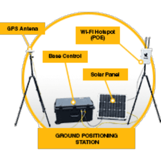
Base Control Station

All the units are coupled with the Solar Base Station as a fixed grounding point. Each kit includes a 110VAC or 12VDC battery with a Solar Panel compatible base station.

Compatible Excavator Models


  • CAT 320
  • CAT 325
  • CAT 326
  • CAT 327
  • CAT 336
  • CAT 349
  • Komatsu PC210
  • Komatsu PC360
  • Komatsu PC400
  • Komatsu PC490
  • Hitachi EX120
  • John Deere 200G
  • John Deere 210G
  • John Deere 245G
  • John Deere 350G
  • John Deere 470G

RTK GPS For Hydraulic or Mechanical Dredging


The HAWK VISION System has been designed to work perfectly with both hydraulic dredging or slurry pumps. The system also works flawlessly with traditional mechanical dredging with clamshells and buckets.

  • Marine Dredging from Land OR Barge
  • Dry Material Mass Excavation with Buckets
  • Suitable for Mechanical OR Hydraulic Dredging
  • Clam Shell or Grab Dredge Compatible
icon

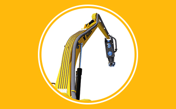
Hydraulic Dredging

HAWK RTK GPS Positioning System can be easily attached to your excavator or electric powered dredge pumps. This way, you can always track the precise position/location of your excavator’s suction head under water. This would make the excavation process optimal for marine or lake dredging, dredging or excavation of soft materials like debris, sediments, slurries, etc.

icon

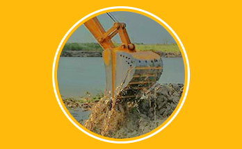
Mechanical Dredging

The HAWK RTK GPS Positioning System can also be attached with the bucket used in mechanical digging or dredging. With this positioning system, you can always keep a close eye on the position/location of your digging or dredging bucket from your excavation site. Robust built oh HAWK Vision System ensures impact-free and hassle-free operation even while dredging coarser of tough materials from the water bed.

Blogs


GET IN TOUCH

Post a Comment